
Esh topographic map
Interactive map
Click on the map to display elevation.
About this map
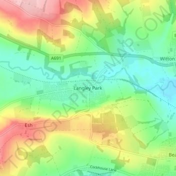
Name: Esh topographic map, elevation, terrain.
Average elevation: 141 m
Minimum elevation: 77 m
Maximum elevation: 244 m
Other topographic maps
Click on a map to view its topography, its elevation and its terrain.
Hill Top
United Kingdom > England > County Durham > Langley Park
Hill Top, Langley Park, Esh, County Durham, North East, England, DH7 9RL, United Kingdom
Average elevation: 130 m