
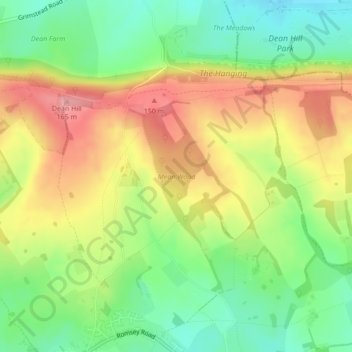
Mean Wood topographic map
Interactive map
Click on the map to display elevation.
About this map
Name: Mean Wood topographic map, elevation, terrain.
Average elevation: 97 m
Minimum elevation: 41 m
Maximum elevation: 162 m
Other topographic maps
Click on a map to view its topography, its elevation and its terrain.
Whiteparish
United Kingdom > England > Whiteparish
Whiteparish, Wiltshire, South West England, England, SP5 2SQ, United Kingdom
Average elevation: 82 m