
Ban Sang topographic map
Interactive map
Click on the map to display elevation.
About this map
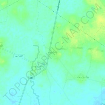
Name: Ban Sang topographic map, elevation, terrain.
Location: Ban Sang, Roi Et Province, Thailand (15.91798 103.59921 15.95798 103.63921)
Average elevation: 153 m
Minimum elevation: 146 m
Maximum elevation: 164 m