
Mont Dore topographic map
Interactive map
Click on the map to display elevation.
About this map
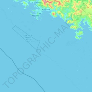
Name: Mont Dore topographic map, elevation, terrain.
Location: Mont Dore, South Province, New Caledonia, France (-22.51650 166.47990 -22.15178 166.97892)
Average elevation: 67 m
Minimum elevation: -2 m
Maximum elevation: 1,049 m