
Copeland topographic map
Interactive map
Click on the map to display elevation.
About this map
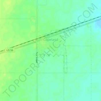
Name: Copeland topographic map, elevation, terrain.
Location: Copeland, Gray County, Kansas, United States of America (37.53302 -100.63563 37.54505 -100.62378)
Average elevation: 862 m
Minimum elevation: 854 m
Maximum elevation: 869 m