
Esternberg topographic map
Interactive map
Click on the map to display elevation.
About this map
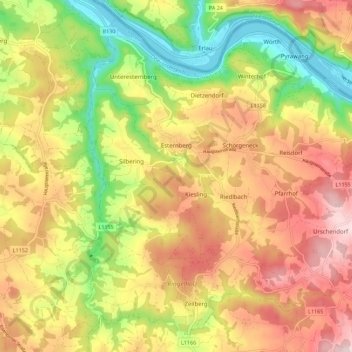
Name: Esternberg topographic map, elevation, terrain.
Location: Esternberg, Schärding, Upper Austria, 4092, Austria (48.50402 13.54097 48.57077 13.65289)
Average elevation: 464 m
Minimum elevation: 286 m
Maximum elevation: 631 m