
La Muela topographic map
Interactive map
Click on the map to display elevation.
About this map
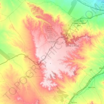
Name: La Muela topographic map, elevation, terrain.
Location: La Muela, Valdejalón, Zaragoza, Aragon, Spain (41.48043 -1.20947 41.64718 -1.03204)
Average elevation: 465 m
Minimum elevation: 265 m
Maximum elevation: 627 m