
Landhi topographic map
Interactive map
Click on the map to display elevation.
About this map
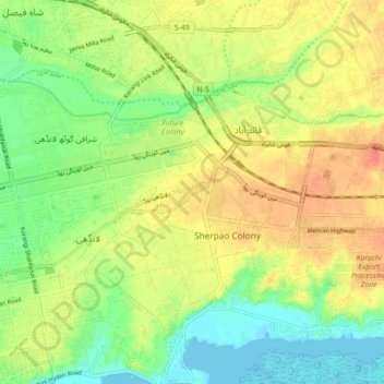
Name: Landhi topographic map, elevation, terrain.
Location: Landhi, Karāchi District, Sindh, 75120, Pakistan (24.80462 67.16139 24.88462 67.24139)
Average elevation: 21 m
Minimum elevation: -1 m
Maximum elevation: 42 m
Other topographic maps
Click on a map to view its topography, its elevation and its terrain.