
Umeå kommun topographic map
Interactive map
Click on the map to display elevation.
About this map
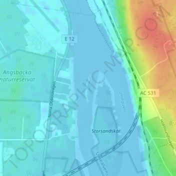
Name: Umeå kommun topographic map, elevation, terrain.
Location: Umeå kommun, Västerbotten County, Region Norrland, Sweden (63.77226 20.30924 63.77659 20.31157)
Average elevation: 8 m
Minimum elevation: -10 m
Maximum elevation: 49 m
Other topographic maps
Click on a map to view its topography, its elevation and its terrain.