
Madaba Map topographic map
Interactive map
Click on the map to display elevation.
About this map
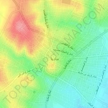
Name: Madaba Map topographic map, elevation, terrain.
Average elevation: 777 m
Minimum elevation: 735 m
Maximum elevation: 832 m
The largest and most detailed element of the topographic depiction is Jerusalem, at the centre of the map. The mosaic clearly shows a number of significant structures in the Old City of Jerusalem: the Damascus Gate, the Lions' Gate, the Golden Gate, the Zion Gate, the Church of the Holy Sepulchre, the New Church of the Theotokos, the Tower of David and the Cardo Maximus. The recognisable depiction of the urban topography makes the mosaic a key source on Byzantine Jerusalem. Also unique are the detailed depictions of cities such as Neapolis, Askalon, Gaza, Pelusium and Charachmoba, all of them nearly detailed enough to be described as street maps.