
Dunolly topographic map
Interactive map
Click on the map to display elevation.
About this map
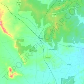
Name: Dunolly topographic map, elevation, terrain.
Location: Dunolly, Shire of Central Goldfields, Victoria, Australia (-36.92732 143.62739 -36.80556 143.82519)
Average elevation: 216 m
Minimum elevation: 163 m
Maximum elevation: 426 m
Other topographic maps
Click on a map to view its topography, its elevation and its terrain.