
Dir topographic map
Interactive map
Click on the map to display elevation.
About this map
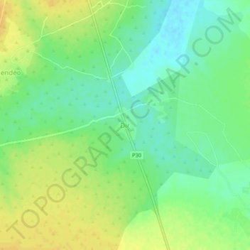
Name: Dir topographic map, elevation, terrain.
Location: Dir, Mayo-Kani, Far-North, Cameroon (10.30870 14.43980 10.34870 14.47980)
Average elevation: 398 m
Minimum elevation: 385 m
Maximum elevation: 411 m