
Wootton topographic map
Interactive map
Click on the map to display elevation.
About this map
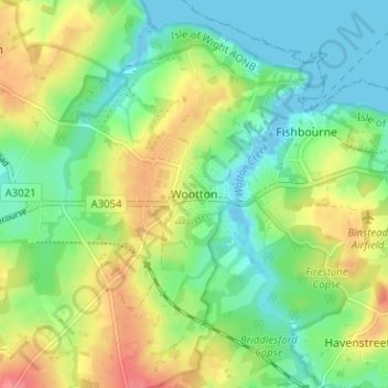
Name: Wootton topographic map, elevation, terrain.
Average elevation: 27 m
Minimum elevation: -6 m
Maximum elevation: 68 m
Other topographic maps
Click on a map to view its topography, its elevation and its terrain.
Wootton
United Kingdom > England > Wootton
Wootton, Bedford, East of England, England, MK43 9HW, United Kingdom
Average elevation: 46 m