
Geboltskirchen topographic map
Interactive map
Click on the map to display elevation.
About this map
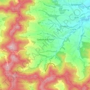
Name: Geboltskirchen topographic map, elevation, terrain.
Location: Geboltskirchen, Grieskirchen, Upper Austria, 4682, Austria (48.12587 13.60260 48.17468 13.67666)
Average elevation: 605 m
Minimum elevation: 471 m
Maximum elevation: 765 m