
Xishi District topographic map
Interactive map
Click on the map to display elevation.
About this map
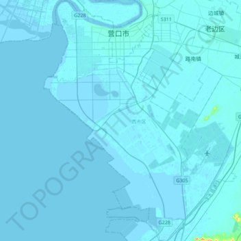
Name: Xishi District topographic map, elevation, terrain.
Location: Xishi District, Yingkou City, Liaoning, 115000, China (40.45073 122.12982 40.70928 122.38278)
Average elevation: 2 m
Minimum elevation: -3 m
Maximum elevation: 117 m