
San Vicente de Cañete topographic map
Interactive map
Click on the map to display elevation.
About this map
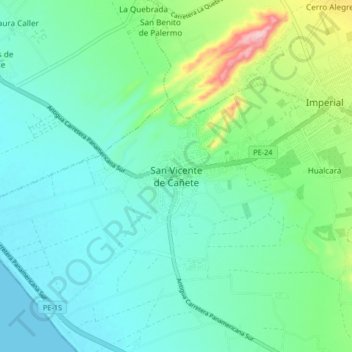
Name: San Vicente de Cañete topographic map, elevation, terrain.
Location: San Vicente de Cañete, Cañete, Lima, Peru (-13.11774 -76.42741 -13.03774 -76.34741)
Average elevation: 47 m
Minimum elevation: 0 m
Maximum elevation: 212 m
Other topographic maps
Click on a map to view its topography, its elevation and its terrain.
San Vicente de Cañete
Peru > Lima > San Vicente de Cañete > San Vicente de Cañete
San Vicente de Cañete, Province of Cañete, Lima, 15701, Peru
Average elevation: 85 m