
Chartham topographic map
Interactive map
Click on the map to display elevation.
About this map
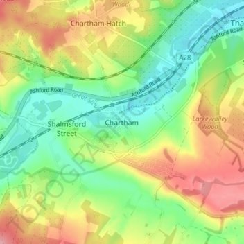
Name: Chartham topographic map, elevation, terrain.
Location: Chartham, Kent, South East, England, CT4 7JQ, United Kingdom (51.23427 1.00039 51.27427 1.04039)
Average elevation: 54 m
Minimum elevation: 8 m
Maximum elevation: 116 m