
Bannockburn topographic map
Interactive map
Click on the map to display elevation.
About this map
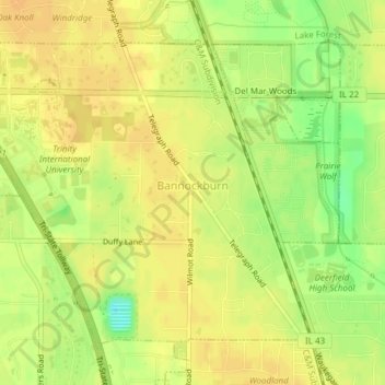
Name: Bannockburn topographic map, elevation, terrain.
Location: Bannockburn, Lake County, Illinois, United States (42.18179 -87.89005 42.20382 -87.85189)
Average elevation: 206 m
Minimum elevation: 186 m
Maximum elevation: 214 m
Other topographic maps
Click on a map to view its topography, its elevation and its terrain.
Lake Naomi
United States > Illinois > Lake County > Hawthorn Woods > White Birch Lakes
Average elevation: 261 m
Bishops Ridge
United States > Illinois > Lake County > Kildeer > Bishops Ridge
Average elevation: 253 m