
Hastings topographic map
Interactive map
Click on the map to display elevation.
About this map
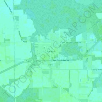
Name: Hastings topographic map, elevation, terrain.
Location: Hastings, Saint Johns County, Florida, United States (29.69802 -81.52813 29.73802 -81.48813)
Average elevation: 4 m
Minimum elevation: 1 m
Maximum elevation: 7 m
Other topographic maps
Click on a map to view its topography, its elevation and its terrain.
Saint Augustine
United States > Florida > Saint Johns County
Saint Augustine is characterized by a diverse topography that features a mix of coastal and inland landscapes. Situated along the eastern coast of the state, the city lies on a narrow peninsula bordered by the Atlantic Ocean to the east and the Matanzas River to the west. The area includes sandy beaches that…
Average elevation: 5 m
Butler Beach
United States > Florida > Saint Johns County > Saint Augustine Beach
Average elevation: 3 m