
Pinga topographic map
Interactive map
Click on the map to display elevation.
About this map
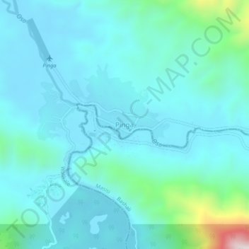
Name: Pinga topographic map, elevation, terrain.
Location: Pinga, Walikale, North Kivu, Democratic Republic of the Congo (-1.00396 28.68198 -0.96396 28.72198)
Average elevation: 1,045 m
Minimum elevation: 940 m
Maximum elevation: 1,689 m