
Pachacutec topographic map
Interactive map
Click on the map to display elevation.
About this map
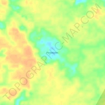
Name: Pachacutec topographic map, elevation, terrain.
Location: Pachacutec, Province of Maynas, Loreto, Peru (-4.13867 -73.13008 -4.09867 -73.09008)
Average elevation: 111 m
Minimum elevation: 91 m
Maximum elevation: 122 m