
Mansa topographic map
Interactive map
Click on the map to display elevation.
About this map
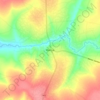
Name: Mansa topographic map, elevation, terrain.
Location: Mansa, Mansa District, Luapula Province, Zambia (-11.24067 28.84939 -11.16067 28.92939)
Average elevation: 1,218 m
Minimum elevation: 1,177 m
Maximum elevation: 1,254 m
Other topographic maps
Click on a map to view its topography, its elevation and its terrain.