
Kristiansund topographic map
Interactive map
Click on the map to display elevation.
About this map
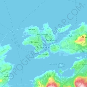
Name: Kristiansund topographic map, elevation, terrain.
Location: Kristiansund, Møre og Romsdal, 6509, Norway (63.07506 7.69329 63.15506 7.77329)
Average elevation: 19 m
Minimum elevation: -3 m
Maximum elevation: 294 m