
Chilanga topographic map
Interactive map
Click on the map to display elevation.
About this map
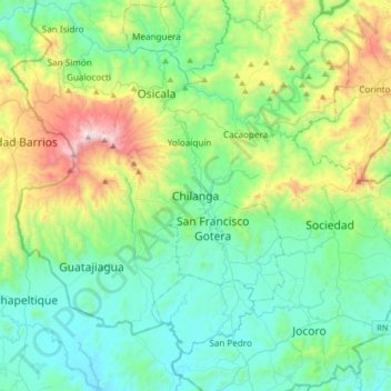
Name: Chilanga topographic map, elevation, terrain.
Location: Chilanga, Departamento de Morazán, El Salvador (13.56192 -88.28068 13.88192 -87.96068)
Average elevation: 478 m
Minimum elevation: 110 m
Maximum elevation: 1,637 m
Other topographic maps
Click on a map to view its topography, its elevation and its terrain.
Chilanga
El Salvador > Departamento de Morazán > Chilanga
Chilanga, Departamento de Morazán, El Salvador
Average elevation: 324 m