
Carr Wood topographic map
Interactive map
Click on the map to display elevation.
About this map
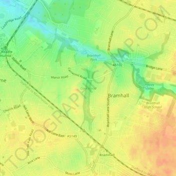
Name: Carr Wood topographic map, elevation, terrain.
Average elevation: 77 m
Minimum elevation: 55 m
Maximum elevation: 91 m
England trails, hiking, mountain biking, running and outdoor activities
Other topographic maps
Click on a map to view its topography, its elevation and its terrain.
Etherow Country Park
United Kingdom > England > Stockport > Compstall > Ludworth Houses
Average elevation: 142 m