
Österåkers kommun topographic map
Interactive map
Click on the map to display elevation.
About this map
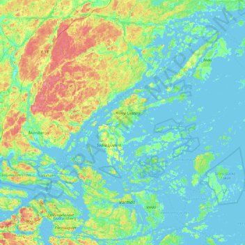
Name: Österåkers kommun topographic map, elevation, terrain.
Location: Österåkers kommun, Stockholm County, Sweden (59.40037 18.12178 59.59989 19.00201)
Average elevation: 15 m
Minimum elevation: -3 m
Maximum elevation: 74 m
Other topographic maps
Click on a map to view its topography, its elevation and its terrain.