
Serò topographic map
Interactive map
Click on the map to display elevation.
About this map
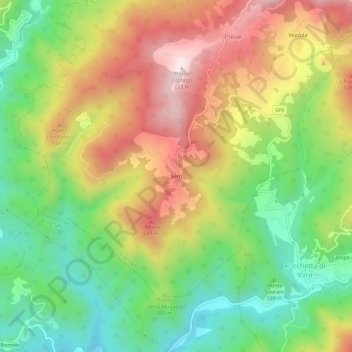
Name: Serò topographic map, elevation, terrain.
Location: Serò, La Spezia, Liguria, 19020, Italy (44.24195 9.71690 44.28195 9.75690)
Average elevation: 393 m
Minimum elevation: 138 m
Maximum elevation: 704 m