
Toole County topographic map
Interactive map
Click on the map to display elevation.
About this map
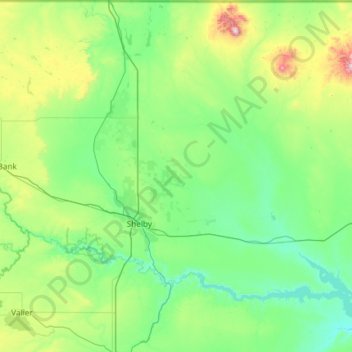
Name: Toole County topographic map, elevation, terrain.
Location: Toole County, Montana, United States (48.21803 -112.19367 48.99867 -111.26912)
Average elevation: 1,086 m
Minimum elevation: 890 m
Maximum elevation: 2,115 m