
Al-'Ula topographic map
Interactive map
Click on the map to display elevation.
About this map
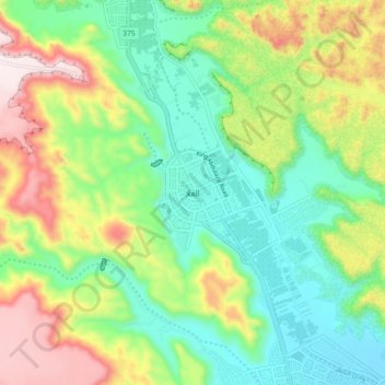
Name: Al-'Ula topographic map, elevation, terrain.
Location: Al-'Ula, Al Madinah Region, 20115, Saudi Arabia (26.44830 37.76271 26.76830 38.08271)
Average elevation: 885 m
Minimum elevation: 571 m
Maximum elevation: 1,499 m
Other topographic maps
Click on a map to view its topography, its elevation and its terrain.
Mada'in Salih Station
Saudi Arabia > Al-'Ula > Mada'in Salih Station
Mada'in Salih Station, Al-'Ula, Al Madinah Region, Saudi Arabia
Average elevation: 777 m