
Seoul topographic map
Interactive map
Click on the map to display elevation.
About this map
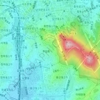
Name: Seoul topographic map, elevation, terrain.
Location: Huam-dong, Yongsan-gu, Seoul, South Korea (37.54551 126.97331 37.55521 126.98797)
Average elevation: 71 m
Minimum elevation: 14 m
Maximum elevation: 265 m
Other topographic maps
Click on a map to view its topography, its elevation and its terrain.