
Manton topographic map
Interactive map
Click on the map to display elevation.
About this map
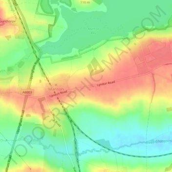
Name: Manton topographic map, elevation, terrain.
Location: Manton, Rutland, East Midlands, England, United Kingdom (52.62155 -0.71928 52.64346 -0.67440)
Average elevation: 95 m
Minimum elevation: 64 m
Maximum elevation: 129 m