
Glaston topographic map
Interactive map
Click on the map to display elevation.
About this map
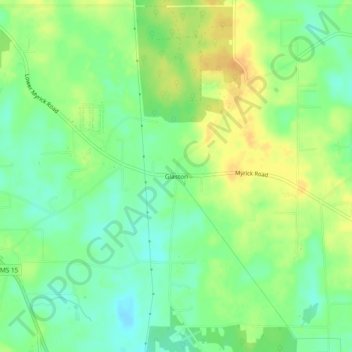
Name: Glaston topographic map, elevation, terrain.
Location: Glaston, Jones County, Mississippi, 39442, United States (31.63905 -89.09839 31.67905 -89.05839)
Average elevation: 74 m
Minimum elevation: 59 m
Maximum elevation: 91 m
Other topographic maps
Click on a map to view its topography, its elevation and its terrain.