
Horst topographic map
Interactive map
Click on the map to display elevation.
About this map
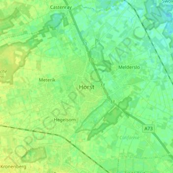
Name: Horst topographic map, elevation, terrain.
Location: Horst, Limburg, Netherlands, 5961EW, The Netherlands (51.41250 6.01392 51.49250 6.09392)
Average elevation: 26 m
Minimum elevation: 19 m
Maximum elevation: 33 m