
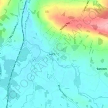
Yalding topographic map
Interactive map
Click on the map to display elevation.
About this map
Name: Yalding topographic map, elevation, terrain.
Location: Yalding, Kent, South East, England, ME18 6HU, United Kingdom (51.20436 0.41145 51.24436 0.45145)
Average elevation: 33 m
Minimum elevation: 7 m
Maximum elevation: 126 m