
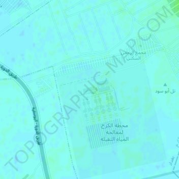
Maslahat Majari Baghdad topographic map
Interactive map
Click on the map to display elevation.
About this map
Name: Maslahat Majari Baghdad topographic map, elevation, terrain.
Average elevation: 34 m
Minimum elevation: 32 m
Maximum elevation: 39 m
Other topographic maps
Click on a map to view its topography, its elevation and its terrain.
Um Al Khanzeer Island
Um Al Khanzeer Island, Karkh, Baghdad, Karkh, Baghdad, Iraq
Average elevation: 38 m