
Allerton topographic map
Interactive map
Click on the map to display elevation.
About this map
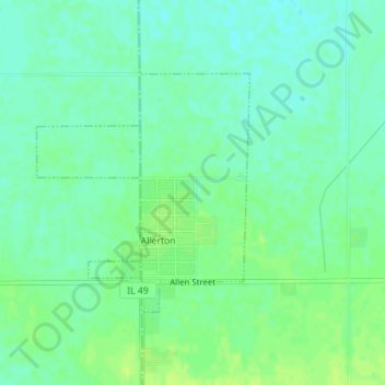
Name: Allerton topographic map, elevation, terrain.
Location: Allerton, Vermilion County, Illinois, United States (39.90669 -87.94754 39.92340 -87.92804)
Average elevation: 213 m
Minimum elevation: 206 m
Maximum elevation: 220 m
Other topographic maps
Click on a map to view its topography, its elevation and its terrain.
Inland Sea
United States > Illinois > Vermilion County
Inland Sea, Vermilion County, Illinois, United States
Average elevation: 193 m
Hoopeston
United States > Illinois > Vermilion County > Hoopeston
Hoopeston, Vermilion County, Illinois, United States
Average elevation: 218 m