
Hurley topographic map
Interactive map
Click on the map to display elevation.
About this map
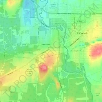
Name: Hurley topographic map, elevation, terrain.
Location: Hurley, Iron County, Wisconsin, United States of America (46.42761 -90.22094 46.46885 -90.17671)
Average elevation: 455 m
Minimum elevation: 423 m
Maximum elevation: 503 m