
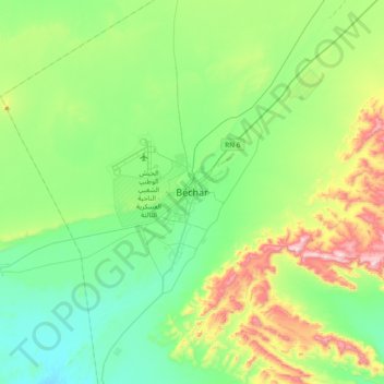
Bechar topographic map
Interactive map
Click on the map to display elevation.
About this map
Name: Bechar topographic map, elevation, terrain.
Location: Bechar, Da'ira Bashar, Bashar, 08000, Algeria (31.45654 -2.37801 31.77654 -2.05801)
Average elevation: 840 m
Minimum elevation: 675 m
Maximum elevation: 1,282 m