
Rossglass topographic map
Interactive map
Click on the map to display elevation.
About this map
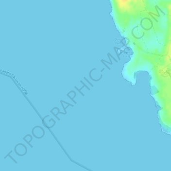
Name: Rossglass topographic map, elevation, terrain.
Location: Rossglass, Belfast, Northern Ireland, United Kingdom (54.22333 -5.69333 54.24333 -5.67333)
Average elevation: 1 m
Minimum elevation: -1 m
Maximum elevation: 22 m
Northern Ireland trails, hiking, mountain biking, running and outdoor activities
Other topographic maps
Click on a map to view its topography, its elevation and its terrain.