
Songea topographic map
Interactive map
Click on the map to display elevation.
About this map
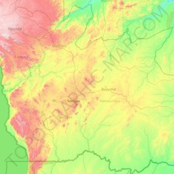
Name: Songea topographic map, elevation, terrain.
Location: Songea, Ruvuma, Southern Highlands Zone, Tanzania (-11.76125 35.09172 -9.18645 37.12725)
Average elevation: 851 m
Minimum elevation: 268 m
Maximum elevation: 2,499 m
Other topographic maps
Click on a map to view its topography, its elevation and its terrain.