
St.Anton topographic map
Interactive map
Click on the map to display elevation.
About this map
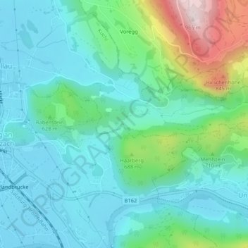
Name: St.Anton topographic map, elevation, terrain.
Location: St.Anton, Kuchl, Hallein, Salzburg, 5431, Austria (47.58833 13.17822 47.60833 13.19822)
Average elevation: 579 m
Minimum elevation: 470 m
Maximum elevation: 955 m