
MacGregor topographic map
Interactive map
Click on the map to display elevation.
About this map
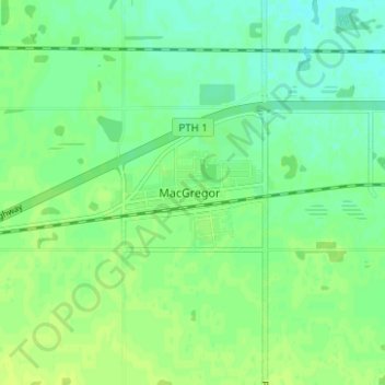
Name: MacGregor topographic map, elevation, terrain.
Location: MacGregor, Manitoba, R0H 0R0, Canada (49.94628 -98.79835 49.98628 -98.75835)
Average elevation: 293 m
Minimum elevation: 286 m
Maximum elevation: 298 m