
Urbana topographic map
Interactive map
Click on the map to display elevation.
About this map
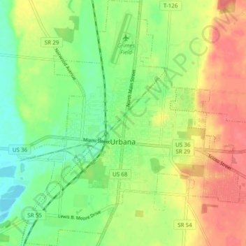
Name: Urbana topographic map, elevation, terrain.
Location: Urbana, Champaign County, Ohio, 43078, United States (40.08401 -83.78476 40.14143 -83.71168)
Average elevation: 327 m
Minimum elevation: 299 m
Maximum elevation: 359 m