
Beachley topographic map
Interactive map
Click on the map to display elevation.
About this map
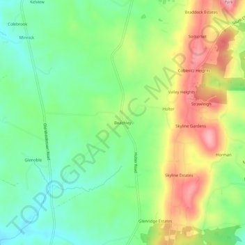
Name: Beachley topographic map, elevation, terrain.
Location: Beachley, Frederick County, Maryland, 21714, United States (39.37649 -77.54332 39.41649 -77.50332)
Average elevation: 189 m
Minimum elevation: 123 m
Maximum elevation: 287 m