
Blackwell topographic map
Interactive map
Click on the map to display elevation.
About this map
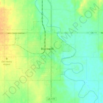
Name: Blackwell topographic map, elevation, terrain.
Location: Blackwell, Kay County, Oklahoma, 74631, United States (36.78147 -97.34843 36.81873 -97.26939)
Average elevation: 311 m
Minimum elevation: 299 m
Maximum elevation: 327 m