
Brookwood topographic map
Interactive map
Click on the map to display elevation.
About this map
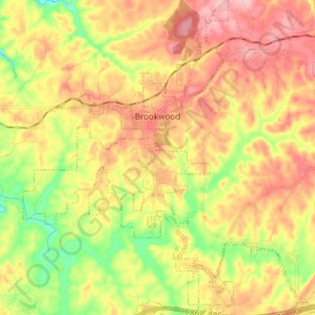
Name: Brookwood topographic map, elevation, terrain.
Location: Brookwood, Tuscaloosa County, Alabama, United States (33.18848 -87.37527 33.29484 -87.26457)
Average elevation: 150 m
Minimum elevation: 75 m
Maximum elevation: 215 m
Other topographic maps
Click on a map to view its topography, its elevation and its terrain.
East Lake
United States > Alabama > Tuscaloosa County > Tuscaloosa > East Lake
Average elevation: 110 m