
Étel topographic map
Interactive map
Click on the map to display elevation.
About this map
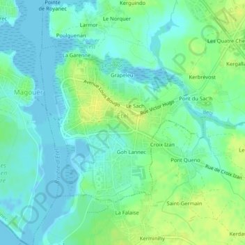
Name: Étel topographic map, elevation, terrain.
Location: Étel, Lorient, Morbihan, Brittany, France, 56410, France (47.64837 -3.21076 47.66580 -3.18392)
Average elevation: 8 m
Minimum elevation: -4 m
Maximum elevation: 19 m