
Lagong topographic map
Interactive map
Click on the map to display elevation.
About this map
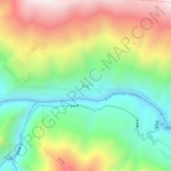
Name: Lagong topographic map, elevation, terrain.
Location: Lagong, Banbar County, Chamdo City, Tibet, China (31.15467 95.08775 31.19467 95.12775)
Average elevation: 3,920 m
Minimum elevation: 3,420 m
Maximum elevation: 4,637 m