
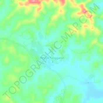
FELDA Tenggaroh 3 topographic map
Interactive map
Click on the map to display elevation.
About this map
Name: FELDA Tenggaroh 3 topographic map, elevation, terrain.
Location: FELDA Tenggaroh 3, Johor, Malaysia (2.07208 103.97133 2.11208 104.01133)
Average elevation: 40 m
Minimum elevation: 6 m
Maximum elevation: 121 m