
Palomares topographic map
Interactive map
Click on the map to display elevation.
About this map
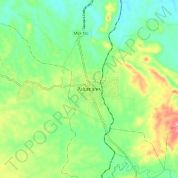
Name: Palomares topographic map, elevation, terrain.
Location: Palomares, Matías Romero Avendaño, Oaxaca, México (17.09702 -95.10211 17.17702 -95.02211)
Average elevation: 99 m
Minimum elevation: 48 m
Maximum elevation: 196 m